The Board of Directors actively contributes to the development and growth of OpenStreetMap Uganda. They work tirelessly to ensure that the organization remains a leading force in promoting open mapping, fostering collaboration, and unlocking the power of geospatial data for the benefit of all involved.The primary objective of the Board of Directors is to support OpenStreetMap Uganda in achieving its mission: to create and maintain a comprehensive, freely available map of Uganda that is accessible to all.
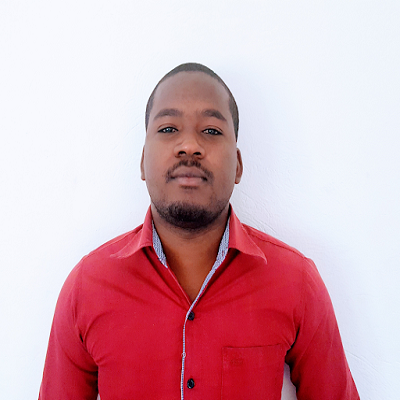
With over 7 years of diverse experience in managing international and local projects across Uganda and the East and Southern Africa region, Deogratius brings a wealth of multidisciplinary expertise to OpenStreetMap Uganda.
An environmental professional with strong organizational skills and experience in project management. Ingrid's areas of interest are Environmental Assessments - EIA and SEA, Natural Resource Management and Environmental conservation.
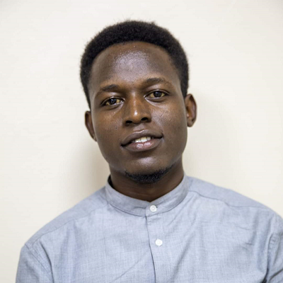
Hillary brings a tone of experience of over 7 years in the field of ICT, Accountability Management. He is currently working with the Local Government of Namisindwa District and a Consultant at Cure Children's Hospital.
Curently serving as Program Director EverywhereSheMaps at YouthMappers in Washington D.C and Research Graduate at West Virginia University, Stella brings experience of international relations and use of opensource data to steer OpenStreetMap Uganda.
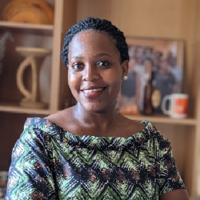
Judith's utmost passion lies in contributing to humanitarian causes and promoting open data for the betterment of both local and global communities. Additionally, She's deeply interested in exploring multipurpose cadastre management approaches.

Allan Mbabani has over 7 years of experience working in the NGO space and geospatial technologies for community development.
We leverage the experience of the youth with over 40 years combination in different sectors and backgrounds which contribute to our vision and mission as we solve our communities challenges using geospatial opensource technologies.

Allan Mbabani has over 7 years of experience working in the NGO space and geospatial technologies for community development.
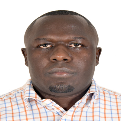
Ronald has over 10 years working in the NGO and financial spaces. Deploying strategic approaches to community development.
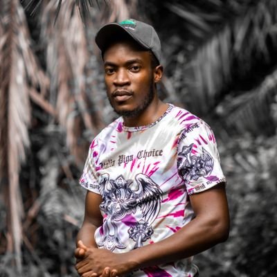
With a chemist background as a profession and over 3 years as a communications strategist in the NGO space and private sector.
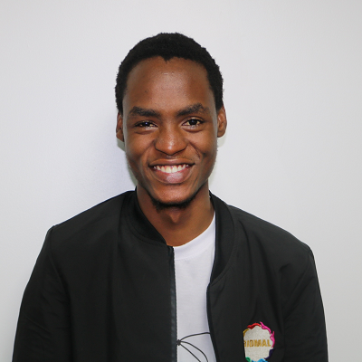
A passionate tech savy, Edwin has over 4 years of software geospatial development.He has led developments in the community using tech and geospatial approaches.

Over 7,000 community members to the OpenStreetMap community in a space of 2 years.Jemimah has also a background in quantity surveying from Makerere University.
We leverage the experience of the youth with over 40 years combination in different sectors and backgrounds which contribute to our vision and mission as we solve our communities challenges using geospatial opensource technologies.
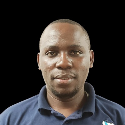
With a background of Agricutural mechanization and irrigation, Micheal brings over 4 years of experience working with OpenSource and GIS applications to the team.
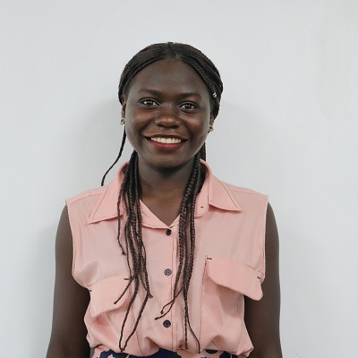
Sandra holds a bachelors degree in Business Information Technology and brings experience of over 2 years in the space of research.
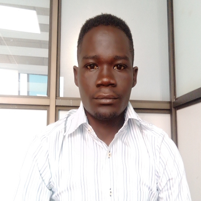
Morish has an experience of over 4 years working with Geospatial technologies.
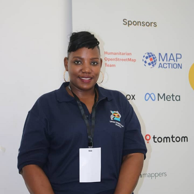
With a background of accounting from Kabale University, Medius heads programs of closing the digital divide for OpenStreetMap Uganda.
In 2012, OpenStreetMap Uganda was founded as a Mapping Day event with a team of 12 members.Later it grew into an NGO that was registed in 2017 with a vision to give the youth an opportunity as a team of mappers is being built to contribute to OpenStreetMap.

Let's have a discussion over coffee at our offices or schedule an online session.
Plot 351, Kyadondo, Mengo, Kiwatule
+256 777 394 189
+256 778 376 773